Friday, June 17, 2022

George Inlet Trip

When I was up in Carroll Inlet recently, I realized that it had been a long time since I went up into George Inlet which is right "next door," so I decided to make a trip up that way.

I pulled out of Bar Harbor at about 6:45 AM in overcast but very calm conditions.  The boat next to me, the Edward R, was not in her slip, which made it somewhat easier to pull out.

Just outside the breakwater there are 2 wrecks which were not there when I moved away in May 2018.  I'm not aware of the circumstances that caused them to be there in that condition.


Just a little further up towards town there is an older wooden boat at anchor.  It has been there since I got back to town last July.  I don't know if someone lives on it, or just keeps it there.  I've never seen any activity in or around it.


Of course, the Jackpot, 164' yacht, is still anchored in its customary spot just west of Pennock Island.  My friends tell me it has been there at least a year before I got back to town, which was almost a year ago.  The tenders look small next to the big yacht, but they are actually about 26' or more and have 175 HP outboards on them.


Another vessel is anchored near the Jackpot.  I couldn't catch the name, but it sports a helicopter on the aft deck.


When I passed Cedars Lodge, I saw the 2 yellow and black hovercraft.  Someone told me they are operating tours with cruise ship tourists.  I have seen them running back and forth near town.  I don't know where they run their passengers, but it has to be somewhere relatively close to town.


Ellis Law firm has waterfront offices, and several years ago they built a couple of large docks right in front of their offices.  They offer moorage for yachts that are too large to fit into our regular boat harbors.  These yachts could choose to anchor near the Jackpot, but it is more convenient to be tied up to a dock.  I met some people several years ago who tied up their 76' yacht there and they told me it was $3 per foot per night to moor there.


As they say, "back in the day." if you wanted to cross an ocean in a pleasure yacht you had to do it under sail because at that time there were no power boats capable of carrying enough fuel to cross an ocean.  Then a few yacht makers like Nordhavn, Kady-Krogen, Selene, Fleming and a few others started building pleasure yachts capable of crossing an ocean.  The solution was to design a semi-displacement hull (sometimes full displacement) with enough tankage to carry thousands of gallons of fuel, and have a large, slow turning prop with an engine that sipped the fuel.  This is a Nordhavn, perhaps 50' or 55' at the Doyon Landing moorage dock.  These vessels are built like tanks, with multiple fuel tanks, fuel polishing systems, redundant systems such as 2 radars, 2 water makers, 3 GPS chart plotters, etc.  It had always been my dream to own a Nordhavn, but alas it is not in the cards for me.


Mountain Point is a popular fishing area, just a few miles from town.  I had to turn the corner there in order to head north into George Inlet.  The Fish & Game Dept had just recently opened up this area for King Salmon fishing and there were many boats fishing there as I passed by.  There were private (non-charter) boats, charter boats with cruise ships guests aboard, and a lot of commercial trolling boats working the area.  These power trollers use hydraulics to drop huge leads down on wires, and then attach multiple lines to those wires at various depths.  I have never commercial fished but when I was sport fishing, we liked to see these commercial guys around on the theory that they would not be there if there were not fish around.  These are just 2 of the dozen or so that were fishing the area that day.


The City of Ketchikan owns and manages several boat harbors around town, The harbor I am in is officially known as Bar Harbor North.  Without a doubt the smallest harbor in town is appropriately named "Hole In The Wall."  It is very small and can only hold a dozen or so small boats.


Out this way is George Inlet Lodge.  They offer tourist packages like a crab fest, nature walks and the like.  They have a couple of large fast boats and they run the tourists out to Coon Cove where they have crab pots already set.  The tourists get to see the pots being pulled, and the crab taken out.  It's quite the spectacle for them.


The teal green boat on the left of the photo is one of 3 that were originally built for Salmon Falls Resort.  They ran them for a few years, taking tourists out for thrilling fast rides to nearby attractions on the water.  Then they sat idle for several years.  The only reason I remember them is that the bank I worked for, First Bank, financed their original construction, and as part of that myself and a few other officers and directors got to go on ride.  These really are unique vessels.  3 engines, if I recall, with jet drives.  When we went out the driver did fast spins that made you have to hold onto your seat.


Just north of George Inlet Lodge there is a large abandoned cannery.  It seems that some tourist minded person would want to snap up that property and turn it into some kind of tourist business.


I had researched the area in my cruising guide book before making the trip.  Of course, you can anchor wherever you want (if it's shallow enough) but there are some places that are more protected than others.  I wanted to check them all out on this trip. Mahoney Bight, Leask Cove, Coon Cove, Bat Cove, Tsa Cove, I checked them all.  Coon Cove is a great spot but there are so many crab pots in there from the George Inlet Lodge boats that it would be hard to anchor in there. Some of these I may visit again in future trips, perhaps during the winter.

There are a few small islands in the northern end of George Inlet and there are lots of private cabins, floats, docks, etc.  

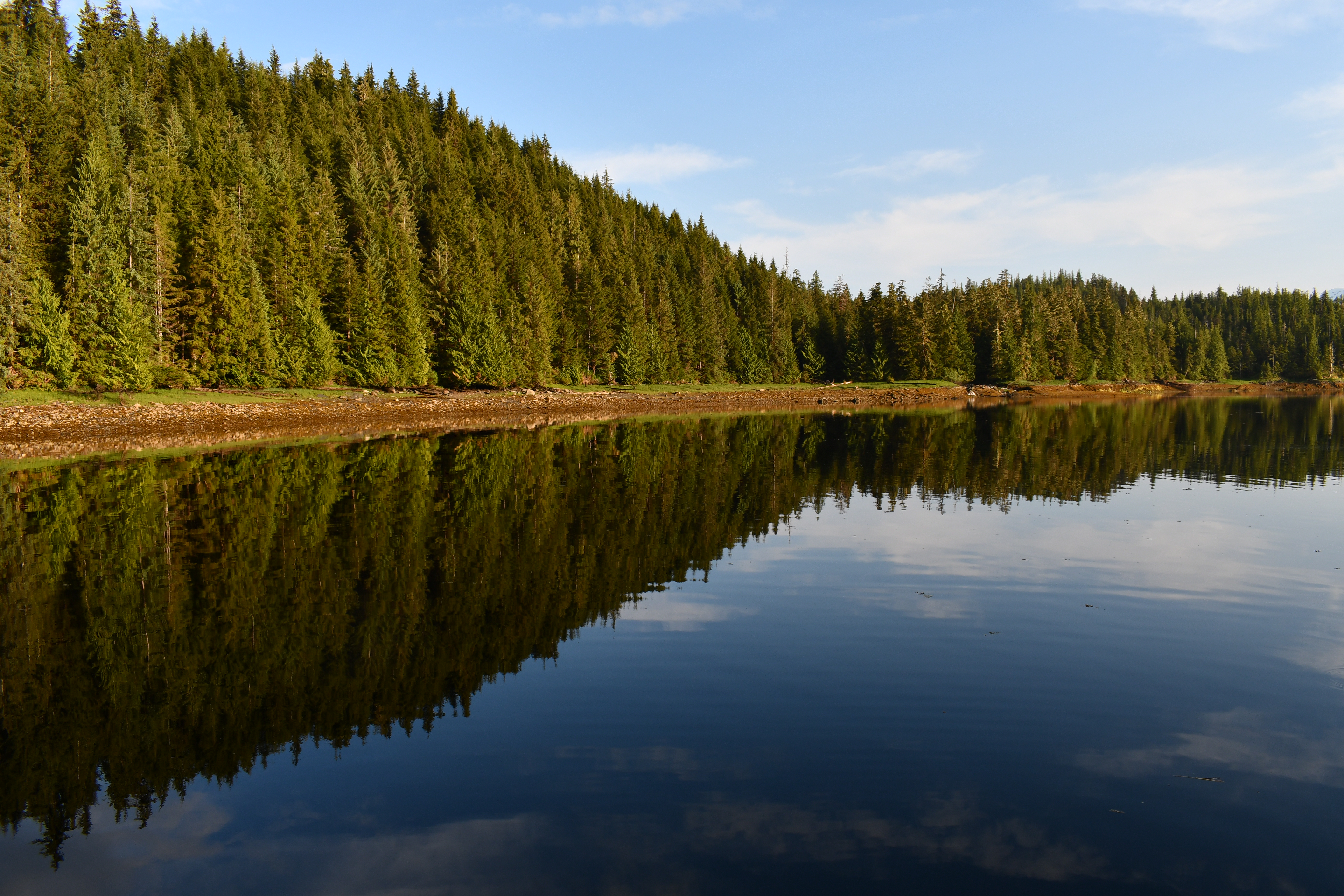
I finally settled on Tsa Cove as my anchor site for the night.  It has a bit of a tricky entrance, but if you have enough of a high tide and you pay close attention to your GPS and to your depth, it is not so difficult to enter.  This was the view "out my back door."  Not a bad place to spend the night!


This is Faraway at anchor in Tsa Cove.


When I am anchored up in little coves like this I am always on the alert for "critters" on the beach or in the water.  While I was dropping the anchor a deer wandered by on the beach right in front of the boat but I was busy with the anchor so could not get any photos or videos.

During the course of my stay here I did see some activity on the beach.

I was watching this black bear on the beach that was eating grass.  At this time of year there are no salmon in the rivers yet so the bears have to eat something else.  They eat a lot of beach grass, and they sometimes turn over large rocks on the beach and eat the little crabs hiding underneath.  I had been watching this bear for a while before I noticed there was a cub with her.  The grass was so tall it had obscured the cub at first.


I think this must have been a different bear because I watched it for a long time at various areas along the beach and I never saw a cub.  That "upside down" bear is the reflection in the water.


I saw deer several times in different areas, but it was hard to get good photos because they were usually pretty far away.  I have a 300 mm zoom lens but even with that they were pretty small.


I saw this doe on a far beach.  She came right out to the edge of the water.  There was a heron fishing there and she walked right up to it.


The herons are fun to watch as they fish in the shallow water.  They stand stock still, then sometimes move very, very slowly.  Then all of a sudden they pounce, usually coming up with a small fish in their bills.  When you look at an object through the water there is a refraction of light dynamic that comes into play, so that the object is not exactly where your eye perceives it to be.  Herons must instinctively be able to compensate for that effect because they rarely miss their targets.


That bear I was watching suddenly decided to play "King of the Mountain" and appeared on a little rocky crag that was near the boat.  There was just a small patch of grass at the top that must have been appealing to him.


The dinner menu that night was some halibut from that little one I caught on Memorial Day weekend, with rice.  The weather was so nice I decided to cook dinner on my Coleman stove on the back deck.  I remembered to bring some propane on this trip.  The Coleman stove puts out a lot more heat then that little 2 burner electric stove I have in my galley on board.


In the morning I checked the crab pot I had set the night before, but Nada.

There was a -4.1 tide at 8 AM and so I decided to wait until a little later in the morning to pull anchor and leave the cove.  

The trip back was enjoyable but uneventful.  It was sunny and mostly dead calm.  Around noon I shut down the engines and drifted for a while so I could enjoy lunch.

I got back into the slip at about 3 PM.  It was pretty breezy in town by then, and with a NW breeze it is hard for me to get into my slip when I am alone.  I was struggling to get in when a harbor dept guy walked by and grabbed my lines.  His help was timely and much appreciated.

Mileage for this trip was about 49 nm.


Friday, June 10, 2022

2022-06-05 Shoal Cove/Shelter Cove Trip

I was undecided about going on this trip because the marine weather forecast was good, but not great.  I guess I got a little spoiled by the Memorial Day weekend weather.  It was sunny and warm, with calm winds to boot.  You don't get that very often around here.

I thought about leaving on Saturday but in the end decided not to go.  Then I sat on the boat all day wishing I had gone.

This map snippet shows the route from town up into Carroll Inlet to Shelter Cove, the farthest point on the route.  Shoal Cove is on the right about 5 miles south of Shelter Cove.


Today, Sunday, I pulled out of Bar Harbor at about 7:15 AM in overcast but calm conditions.  Light rain was falling from time to time.

As I slowly motored through town, I saw 3 cruise ships in port so far.  I think others were due in later in the morning.  Two of the ships were already tied up while the third one was maneuvering into the dock.  The cruise ships are required to have a certified local pilot on board when coming into or leaving a port, and I think they are the ones that actually take it up to the dock.

In the "old days," when cruise ships first started coming to town, the ships required tugboat assistance to get in and out of the dock.  But now the ships all have very powerful bow and stern thrusters, so they can move sideways, and no tugboats are required.


One of them looked like it has some kind of curly-Q water slide on the top.  Looks fun.

Contrast these with the vessels on the other side, on Pennock Island.


As usual, Doyon's Landing had a couple of beautiful yachts tied up.  I always wondered how it feels to dock your 80' yacht, and then have someone dock their 120' yacht right in front of you.


When I left Bar Harbor I really had not yet decided where exactly I wanted to go.  This is uncommon for me as I am usually an obsessive planner.  I decided to head for Carroll Inlet and figure out where to spend the night once I got there.

I checked out a couple of places, but in the end decided to head for the Shoal Cove USFS dock.  In typical Federal government fashion, the Shoal Cove dock is not actually in Shoal Cove, it is a few miles north of Shoal Cove.  Shoal Cove itself is very shallow and only small skiffs can go in there.

The Coast Guard used to maintain a LORAN station near Shoal Cove and this dock and the smaller one nearby were used to transfer men and equipment destined for the Shoal Cove LORAN station.

LORAN stands for Long Range Navigation, and for a long time it was the best navigational aid available for ships at sea.  Now however, GPS (Global Positioning System) uses satellites to aid ships in navigation so the LORAN station has been shut down.


Who is that really old looking guy?


This is the small dock right across from the USFS dock.  It was used exclusively by the Coast Guard to load and unload their men and equipment and supplies.  I had heard there were no residential facilities at the LORAN station and so the men (and women) had to be transported out and back each day for their shifts.


After getting tied up I walked up the logging road to seek good photos or videos.  The USFS has a pretty extensive "camp" here which they use when they are working in the area.


They have solar panels, propane tanks, diesel, gas, barbecues, a 4-wheeler and apparently all the amenities needed to enjoy a short stay here.  When they are actively working in the area they also have trucks and other vehicles as needed.

A little way up the logging road there was a leftover pile of log scraps.  These are the logs they deemed of no use.  Back in the day there were extensive logging activities taking place here.  Lisa and I were here once when they were logging and the big logging trucks would bring down a load of logs and dump them into the water.  Then these little, but powerful, "log bronc" little tugs would push them around and form them into a raft for later towing to town.

I came across something odd attached to a tree, and it took me a few minutes to figure out what it was.  Back in my younger days I was a hunter and I quickly learned it was far easier to skin and butcher a deer that was hanging as compared to doing it with the deer laying on the ground.  I think this was for hanging deer.


This must be the Shoal Cove road parking lot.  I suspect hunters have left vehicles here for use during the hunting season.


Before I walked up the road the guy with the small boat came back.  He had a small scooter and had been looking for bear.  He said he had gone about 12 miles on the road system and had seen no bears, but had seen "a lot of deer."  It didn't take long on my slow walk up the road to come across this doe.  I see deer quite frequently along the 3rd Ave bypass road, but there is something special about seeing them out here, far away from town, in their natural habitat.  You can see why back in my younger days when I hunted we would call these does "propeller heads."  In this area you can only shoot bucks and deer season opens on August 1st.


I could tell there was a seal in the area because I would hear slapping from time to time.  Each time I went out to investigate he was either too far out for photos or I couldn't locate him at all.  But one time I went out to look around I saw a small brown furry critter on the dock.  At first I thought it might be a marten, but I did some reading when I got back to town and now I think it was a mink.  I got a lot of good video, but this blog site does not allow very long videos to be posted so I will have to cut them short.  Also, after getting some good video, I put my telephoto lens on my camera and walked up the ramp hoping to get some good still photos of him.  I figured he might be far away and so that's why I put the telephoto lens on.

When I got to the top of the ramp he was just sitting there, about 10 yards away.  I stood stock still.  Then he came running towards me!  He came right up to me and sniffed the toe of my shoe before darting away.  I shot some photos as he approached, but since I had the telephoto lens on I could not get the "money shot" of him sniffing my shoe since he was so close.


I had about 4 minutes of great video of this little guy but had to trim it down to be able to upload it to the blog site.


A little while after that the elusive seal started slapping again, so I went out to try to get some video of him.  Seals can be very playful, and are frequently seen slapping the water and making quite a ruckus.


I had been keeping an eye on a grassy area visible from the boat the whole time I was there because it just looked so "deery."  I finally saw a deer there munching on grass and green leaves.  Hard to believe they can get all the nutrition they need just from grasses & leaves.  I apologize for the wobbles.  I was standing on the front of the boat and it was moving a little, but I think most of the wobble came from the fact that I had the camera zoomed up to its max 15x.  At that magnification any little movement gets amplified.  I'll try to do better at this in future videos.


After a quiet but very rainy night on board I had to decide where to go in the morning.  There is another USFS dock about 5 miles north of here called Shelter Cove that I have been to many times.  Sometimes it is just too busy there to even tie up.  It has been a site of active logging from time to time.  I had not been there for a long time so decided to run up there and check it out.  I have read in the papers that they are working on a road from town to Shelter Cove (it is on the same island).  If that comes to be it makes me a little sad.  I envision caravans of teenagers in big pickup trucks zooming out there from town.  Maybe it won't come to that and we can still come here to experience the outdoors in some degree of solitude.

It is a very beautiful area when the winds are calm and the sea is glassy.


Even though I could not stay the night I went ahead and tied up to the dock so I could walk up the logging road a little way and look for more photo and video opportunities.


Right up above the ramp there appears to be some sort of memorial to someone.  When my son Steven died in October of 2017 I went to the USFS office and asked if I could place a memorial to him on the trail at the Naha, since we had made so many trips there over the years.  I was told emphatically No!  And then they sent me a multipage document of the exact regulation that prohibits such activity.  Maybe because this was a logging road and not a USFS maintained trail it was OK here.  In hindsight I probably should have just placed the memorial at the Naha and not said anything to anybody.


Up the road there were tons of deer tracks, but I saw no deer.


I did see evidence of either a wolf or a bear, I could not tell which.


Just across from the dock there is a very round "basin" in the beach.  I have been told that it is the remains of an ancient native fish trap.  In the late summer and early fall the salmon are thick around here.  I guess the theory is that when the tide is high the fish mill around that area, and some of them are in that basin.  As the tide falls they become trapped there and can be just scooped out easily.


Just a couple more shots of the beauty of Carroll Inlet from this spot.


I had a quiet lunch here and then decided to head for town.

The closer I got to town the worse the weather got.  When I pulled into my slip at Bar Harbor at about 4 PM it was in heavy rain and stiff SE breezes.

Total mileage this trip was about 52 nm.